
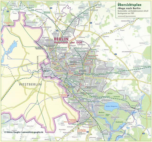
East Berlin was the capital city of the German Democratic Republic (GDR) whilst West Berlin was a territory of the Federal Republic of Germany (FRG) located in the middle of the GDR. Here, a Berlin map produced in the East largely neglects Westberlin, and similarly, a map of the West contains minimum information of East Berlin.
Here's a larger version of an East Berlin map.
The other side of the Wall was another country of opposing values. It was irrelevant and perhaps they chose not to see it.